



Centro per lo studio e la sperimentazione di strumentazione meteorologica

Welcome to KWOS website

Octocatfacebook icon 512 512Instagram AppIcon Aug2017 
UTC Time
English French German Italian
Nefocast

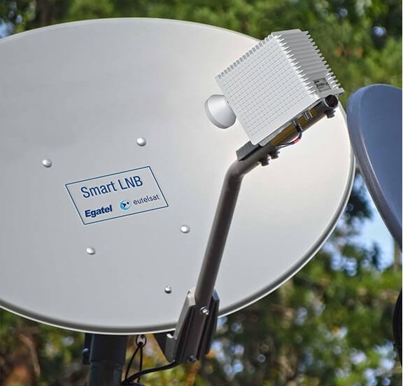
Ha inizio la sperimentazione per il progetto NefocastSmartLNB parabola
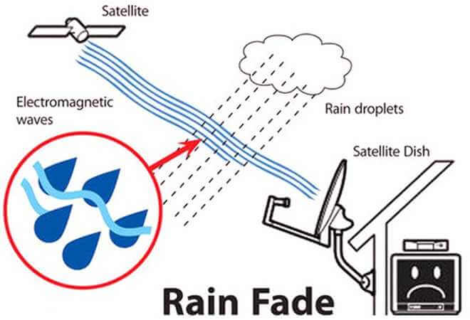
E' già da tempo che il KWOS utilizza il Signal-to-noise ratio di un ricevitore per satelliti televisivi in Banda Ku per determinare il Rainfall rate sulla propria stazione, ma il progetto Nefocast ha come obiettivo ulteriore, quello di progettare, implementare e validare un prototipo di piattaforma tecnologica integrata che consenta di analizzare le informazioni fornite dagli SmartLNB, integrandole con sensori pluviometrici, al fine di migliorare l'accuratezza e la distribuzione delle stazioni, per incrementare la precisione delle mappe pluviometriche.
Leggi di più >>>

All about satellites

Meteosat

There are two generations of active Meteosat satellites, Meteosat First Generation (MFG) and Meteosat Second

Generation (MSG), providing images of the full Earth disc, and data for weather forecasts.

Today, weather satellites scan the whole Earth, meaning not a single tropical storm or severe weather system goes undetected. The early detection and warnings they provide have saved thousands of lives.

Meteosat data is of unique value to nowcasting of high impact weather in support of safety of life and property.

It has been shown to improve weather forecasts and severe weather warnings which, in turn helps limit damage to property and benefits industry e.g. transport, agriculture and energy.
read more >>>

MeteoTracker – the weather station for those on the move

meteotrackerOn our Facebook pages, we often show the tests we are carrying out with MeteoTracker: a revolutionary system for measuring, mapping and sharing meteorological parameters on the move.

During a session, the instrument (which is the size of a computer mouse) will measure temperature, humidity and pressure; this data is then sent to an app, which adds GPS coordinates, calculates the altitude and sends all data to the server which also records the route taken by each tracker. 

The software is constantly evolving so there will be many more calculated parameters, such as dew point, QNH (reduced to sea level pressure), a radiation index, etc.

It is very easy to use: you only have to download the App the first time you use it and you will have to do Bluetooth pairing to recognise the peripheral device. Oncemeteotracker app it is switched on, the smartphone will recognise it automatically, it can then be placed in position on your car thanks to its strong magnets and after a few seconds (time enough to fix it in place) you will be ready to go.


read more >>>

Scandriglia weather

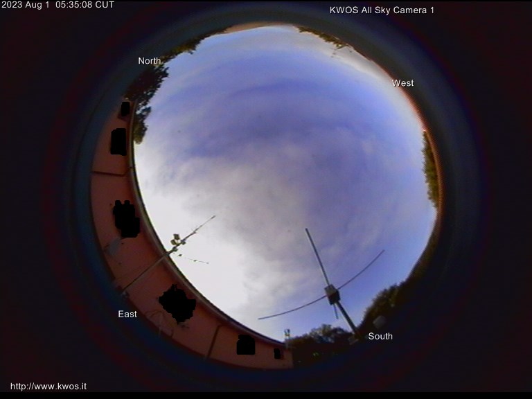
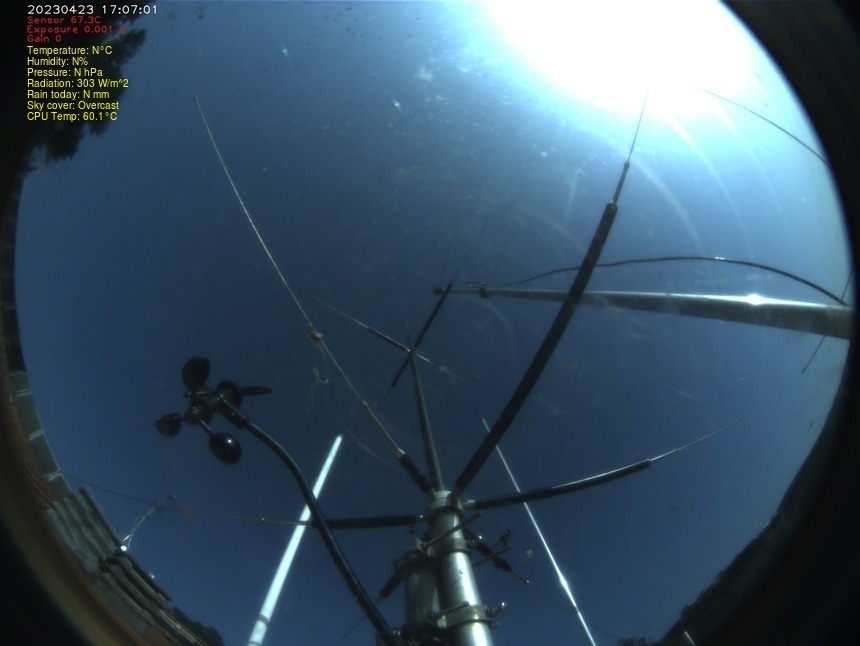
All Sky cameras


Copyright © 1998 - 2024 KWOS.org - KWOS.it - IW7CHV.org - IZ0QWM.org. All rights reserved.

Histats page for KWOS.it  - Histats page for KWOS.org - 
 
 -  Statscounter page for kwos.it

KWOS Coordinates

Grid locator: jn62je

Lat: 42°10' 07.3" N 
(42.168694°) 
Long: 
12°47' 09.8" E     
(12.786056°) 
CQ zone:
 15 
ITU zone:
 28

 
logo cisarlogo ara